Trail file
Difficulty 3/5 · Tai Mo Shan Country Park
Tai Mo Shan
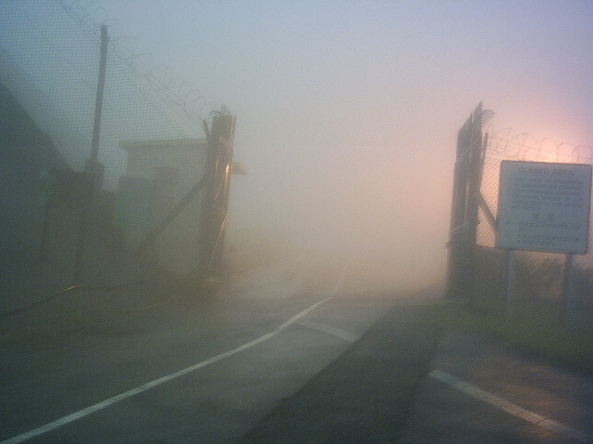
Hong Kong’s high point at 957m. A road reaches near the top, but weather is another mountain: fog, wind, near-freezing feel in winter.
9 km · 957 m ↗ · 3.5–6 h · Tsuen Wan
Unknown · CC BY-SA 3.0 · Wikimedia Commons
Distance
9 km
Elevation
957 m
Moving time
3–4.5 h
Clock time
3.5–5.5 h
Elevation profile
640–957 m
Trail map
22.411500, 114.123300
Location unused. Tap “My location” to measure distance with browser GPS.
Reconstructed schematic path (not a surveyed GPX)
How to go
- Outbound
- Tsuen Wan station, bus 51 on Route Twisk; alight near Tai Mo Shan Road / park gate, then the service road. No illegal parking in the closed zone.
- Return
- Reverse on bus 51 to Tsuen Wan. Last buses vary at weekends — be at the gate before dusk.
- Last transport
- 51 is not overnight. No night climb without lamps.
- Abort / bad weather
- Fog makes the lookout moot — reverse. Winter frost possible on the road.
- From the hubs
- Central/TST 50–70 min to Tsuen Wan. Western NT hub.
- Octopus / transfers
- Bus Octopus. No tap on the mountain.
All regions
- Start district
- Tsuen Wan
- End district
- Tsuen Wan
- Country park
- Tai Mo Shan Country Park
- Villages
- near Chuen Lung
- Approx. grid
- 22.41°N 114.12°E · 957 m
- Management / emergency
- AFCD Tai Mo Shan. Do not mix the road and the trail.
Analysis
Exposure
3/5
Scrambling
1/5
Shade
Exposed road
Signal
Usually on the summit
No reliable water on the road
Family-friendly
Crux
Altitude and temperature, not technique.
Analysis
The territory’s roof. Keep the road and the trail apart.
- Start
- Route Twisk / Tai Mo Shan Road
- End
- Near the weather station
- Scenery
- NT panorama, occasional cloud sea
- Fitness
- Moderate; weather judgement beats muscle.
- Season window
- Winter can near freezing. Summer afternoon storms.
- Risk
- Hypothermia, zero visibility, road swallowed by cloud.
- Kids
- Older children with vehicle support; still pack warmth.
- Older walkers
- Viewpoint by vehicle is more realistic.
Gear
- · Wind layer — 6–10°C cooler
- · 2 L water
Water
- · Tsuen Wan station; none on the hill.
Toilets
- · Park visitor centre / gate if open.
Resupply
- · Nina Mall / station at Tsuen Wan.
Risk
- · Lost in fog
- · Near freezing in winter
- · Service-road traffic