Trail file
Difficulty 2/5 · Shing Mun Country Park
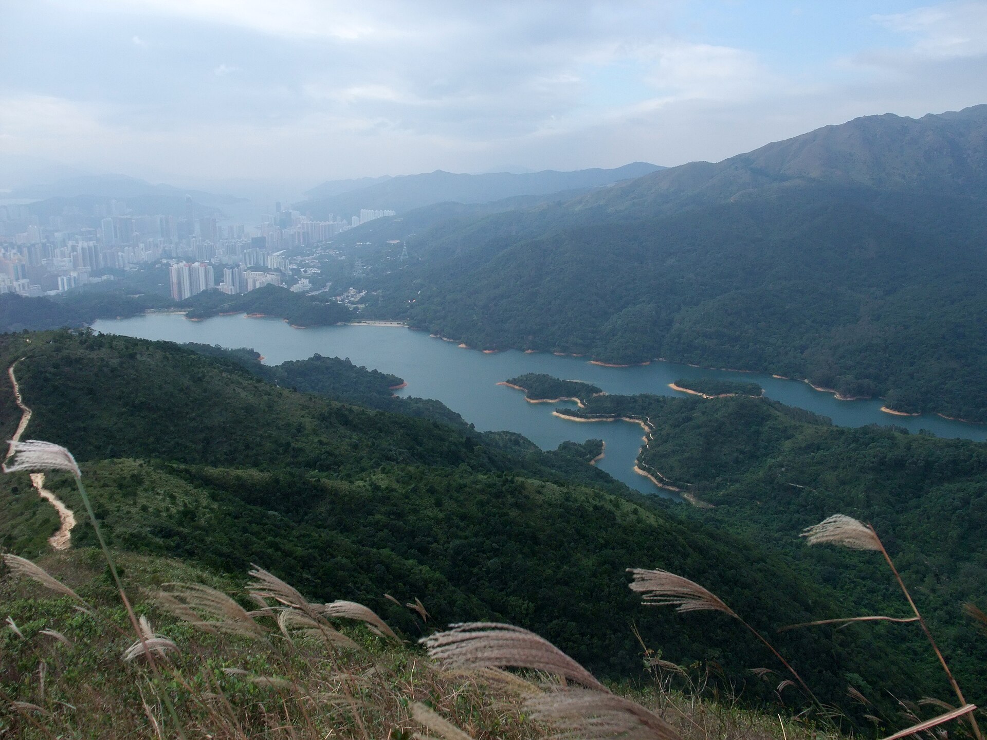
Shing Mun Reservoir
Main dam and forest roads at lower intensity, or connect Needle Hill. Tsuen Wan’s country-park hub.
6 km · 80 m ↗ · 2–3.5 h · Tsuen Wan
Minghong · CC BY-SA 4.0 · Wikimedia Commons
Distance
6 km
Elevation
80 m
Moving time
2–3 h
Clock time
2.5–4 h
Elevation profile
190–210 m
Trail map
22.385000, 114.140000
Location unused. Tap “My location” to measure distance with browser GPS.
Reconstructed schematic path (not a surveyed GPX)
How to go
- Outbound
- Tsuen Wan minibus 82 to Shing Mun. A family-facing reservoir loop.
- Return
- Reverse to Tsuen Wan.
- Last transport
- Minibus last bus.
- Abort / bad weather
- Leave the open dam in thunder.
- From the hubs
- Same access as Needle Hill.
- Octopus / transfers
- Octopus.
All regions
- Start district
- Tsuen Wan
- End district
- Tsuen Wan
- Country park
- Shing Mun Country Park
- Villages
- Shing Mun
- Approx. grid
- Shing Mun Reservoir
- Management / emergency
- AFCD Shing Mun.
Analysis
Exposure
1/5
Scrambling
1/5
Shade
Shaded forest track
Signal
OK
Do not drink reservoir water
Family-friendly
Crux
No technical crux.
Analysis
Shing Mun’s horizontal line — a cooldown.
- Start
- Shing Mun entrance
- End
- Main dam
- Scenery
- Water, forest, occasional macaques
- Fitness
- Low.
- Season window
- Year-round. Still hot in summer.
- Risk
- Monkeys snatch food — do not feed.
- Kids
- Yes, guard snacks.
- Older walkers
- Main road is suitable.
Gear
- · 1 L, repellent
Water
- · Visitor centre.
Toilets
- · BBQ site.
Resupply
- · Tsuen Wan.
Risk
- · Bikes
- · Weekend crowds