갤러리
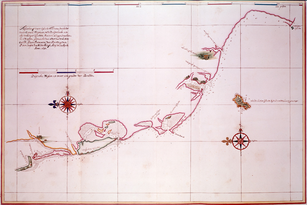
This detailed navigation chart shows the coastline of Taiwan from the Bay of Tayouan southward (left is north). It is one of the best surviving maps of Taiwan's coast. Used by permission of the Austrian National Library (finding aid: Atlas
Johannes Vingboons · Public domain · Wikimedia Commons
Product-boundary pin: Kenting is a separate south-Taiwan trip — not this map's core.
베스트 타임
Weekday morning or dusk; weekend noon crowds tighten.
가는 법
MRT / LRT / station: n/a. Read the signs after exit.
팁
- · One axis a day — do not jam another district.
- · Last trains and closures follow that day’s notice.
다음 정거장
이 역 다음은 어떻게
Walk, LRT or one MRT stop to the next place. Another district is another day.
Foguangshan pagoda distant view
Kaohsiung MRT · 35분
Kenting outside this station → Foguangshan pagoda distant view: same-district MRT/LRT (~35 min)
Next is Foguangshan pagoda distant view on the kaohsiung-day axis — do not open another district spine (Kenting outside this station→Foguangshan pagoda distant view, 35 min).
E-DA mall–hotel belt
Kaohsiung MRT · 40분
Kenting outside this station → E-DA mall–hotel belt: continue kaohsiung-day axis (~40 min)
E-DA mall–hotel belt continues the same axis — not an excuse to add Lotus Pond or Dream Mall (Kenting outside this station→E-DA mall–hotel belt, 40 min).
여행 한마디
회원의 짧은 한마디. 비공개는 본인만. 공개는 여기에 나오며 단독으로 검색되지 않습니다.
- 아직 공개 한마디가 없습니다.