Trail file
Difficulty 3/5 · Sai Kung East Country Park
MacLehose Trail Stage 1
Pak Tam Chung to High Island. Geopark coast, long and exposed — among Hong Kong’s most distant-feeling landscapes.
10.6 km · 200 m ↗ · 4–6 h · Sai Kung
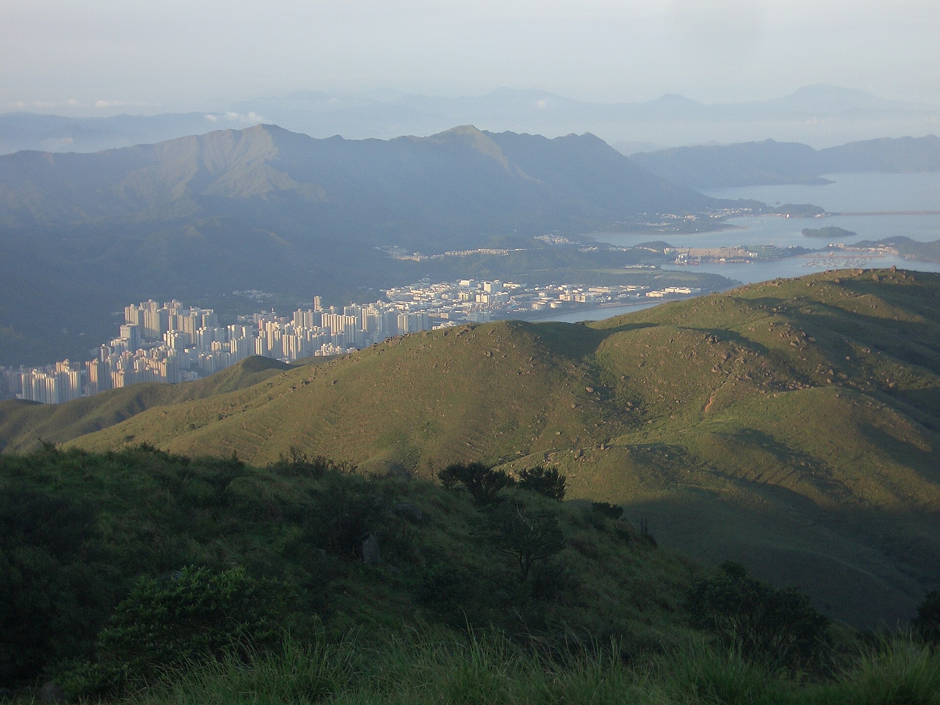
The original uploader was C J B Scholten at English Wikipedia . · CC BY 2.5 · Wikimedia Commons
Distance
10.6 km
Elevation
200 m
Moving time
3–4.5 h
Clock time
4–6 h
Elevation profile
12–40 m
Trail map
22.396700, 114.321000
Location unused. Tap “My location” to measure distance with browser GPS.
Reconstructed schematic path (not a surveyed GPX)
How to go
- Outbound
- Pak Tam Chung gate. Weekend special buses; weekdays taxi or via Sai Kung. ID may be asked at the gate.
- Return
- Reverse from East Dam to Pak Tam Chung, or pre-book a taxi. A one-axis geology line.
- Last transport
- Specials before dusk. The gate is not a 24-hour city.
- Abort / bad weather
- Crouch on the dam in high wind. Leave the open dam in thunder.
- From the hubs
- Central/TST 90–120 min. Sai Kung town is the transfer.
- Octopus / transfers
- Bus Octopus. No MTR inside the gate.
All regions
- Start district
- Sai Kung
- End district
- Sai Kung
- Country park
- Sai Kung East Country Park
- Long-distance trail
- MacLehose Trail Stage 1
- Villages
- Pak Tam Chung
- Approx. grid
- High Island Reservoir East Dam
- Management / emergency
- AFCD Sai Kung East; WSD reservoir zone.
Analysis
Exposure
3/5
Scrambling
1/5
Shade
Almost none
Signal
Unreliable
Carry 2 L; none on the dam
Family-friendly
Crux
Wind and sun outweigh scrambling.
Analysis
Turns High Island’s hexagons into a walkable geology line.
- Start
- Pak Tam Chung
- End
- High Island East Dam
- Scenery
- Hexagonal columns, East Dam, open sea
- Fitness
- Long walk fitness.
- Season window
- Winter is the photograph. Summer has no shade.
- Risk
- Heatstroke, missed transport.
- Kids
- Fit kids can do sections.
- Older walkers
- East Dam is vehicle-reachable — skip the full stage.
Gear
- · Cap, sunscreen, 2 L water
Water
- · Pak Tam Chung gate.
Toilets
- · Gate visitor facilities.
Resupply
- · Last resupply in Sai Kung town.
Risk
- · Sun
- · Dam wind
- · Missing the return to the gate